UN
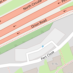
53 Pert Close
£ 170,000
Description
We don't have a Description for this property.
- Bedrooms
- 1
- Bathrooms
- 0
- Furnished
- true
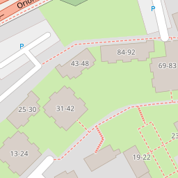
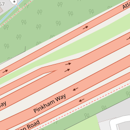
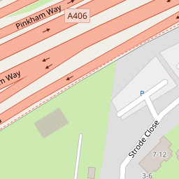
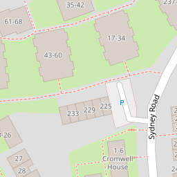

Leaflet © OpenStreetMap contributors
The heatmap indicates the level of crime in the area. The color of the heatmap indicates the crime severity and recency.
Metrics Year-on-Year
- Average area value
- 516,758.00 £Decreased by 12.22 %
- Average area rental value
- 1,977.00 £/moIncreased by 2.97 %
- Est rental Yield
- 4.59 %Increased by 17.39 %
- Crime Rate
- 14.00 %Unchanged by 0.00 %
from 588,706.00 £
from 1,920.00 £/mo
from 3.91 %
from 14.00 %
Nearby Schools
| Name | Type | Ofsted | Distance |
|---|---|---|---|
| Hollickwood Primary School | Foundation School | Good | 0.33 KM |
| Coppetts Wood Primary School | Community School | Outstanding | 0.86 KM |
| Coppetts Wood Primary School And Children'S Centre | Children's Centre | 0.97 KM | |
| St Paul'S Cofe Primary School N11 | Voluntary Aided School | Good | 1.00 KM |
| Alexandra Park School | Academy Converter | Outstanding | 1.14 KM |
Images
Nearby Streets
| Name | Average Price | Average Sqft | Distance |
|---|---|---|---|
| Silver Birch Close | £ 0 | 0 | 0.00 KM |
| Pinkham Way | £ 0 | 0 | 0.00 KM |
| Beaconsfield Close | £ 0 | 0 | 0.00 KM |
| Barnard Hill | £ 700,000 | 0 | 0.00 KM |
| Sutton Road | £ 0 | 0 | 0.00 KM |
Nearby Transport
| Name | NLC | TLC | Distance |
|---|---|---|---|
| New Southgate | 6019 | NSG | 0.81 KM |
| Bowes Park | 6027 | BOP | 2.79 KM |
| Alexandra Palace | 6025 | AAP | 3.01 KM |
| Oakleigh Park | 6020 | OKL | 4.06 KM |
| Palmers Green | 6021 | PAL | 4.09 KM |
Nearby Listings
| Address | Price | Type | Score | Distance |
|---|---|---|---|---|
| Pert Close, Muswell Hill, London, N10 | £ 400,000 | BUY | Unknown | 0.02 KM |
| Pembroke Road, London, N10 | £ 850,000 | BUY | 7 / 10 | 0.16 KM |
| Sydney Road, London | £ 950,000 | BUY | 5 / 10 | 0.19 KM |
| Sydney Road, Muswell Hill, London, N10 | £ 450,000 | BUY | 5 / 10 | 0.19 KM |
| Laburnum Close, London, N11 | £ 325,000 | BUY | Unknown | 0.19 KM |
Nearby Properties
| Address | Price | Distance |
|---|---|---|
| 55 Pert Close | £ 135,000 | 0.00 KM |
| 66 Pert Close | £ 150,000 | 0.00 KM |
| 58 Pert Close | £ 265,000 | 0.00 KM |
| 65 Pert Close | £ 214,000 | 0.00 KM |
| 82 Pert Close | £ 245,000 | 0.00 KM |